Mapping the Timeline:
Geography is everything in this case. We have mapped out the key locations, search sectors, and critical areas of interest to help you visualize the physical footprint of the investigation.
We are sharing these detailed maps and archival photos not just to guide your listening, but to reinvigorate thirty-year-old memories. If you lived in the area or traveled these roads three decades ago, seeing these locations as they were might spark a forgotten detail, a misplaced timeline, or a conversation you once overheard. Take a look, step back into the grid of that week, and help us piece together the map that brings Hazel home.
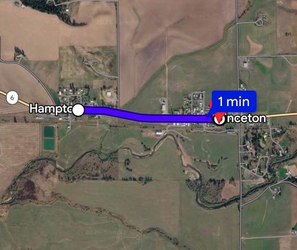
Distance from Hazel's home to the old Princeton Grange.
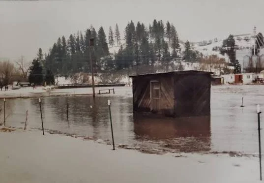
Historic 1996 Flooding.
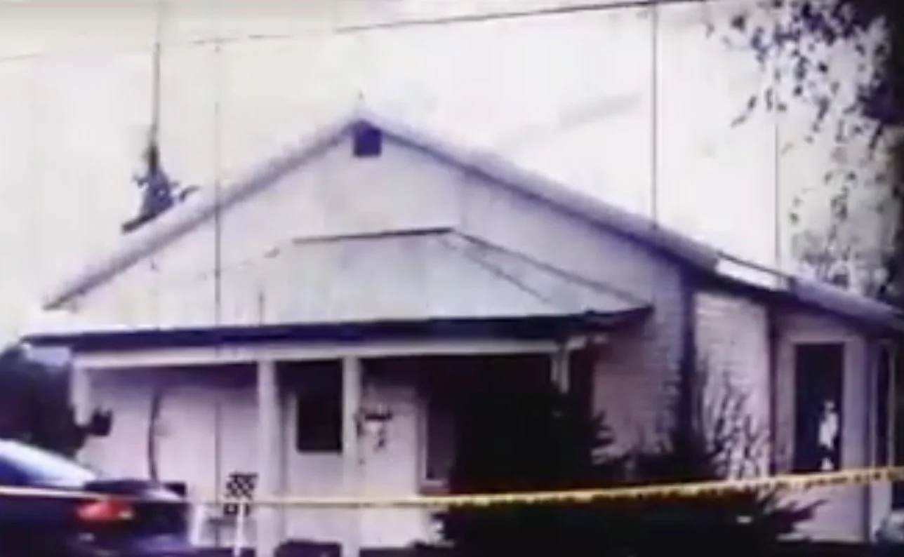
Front of Hazel's Home in 1996.
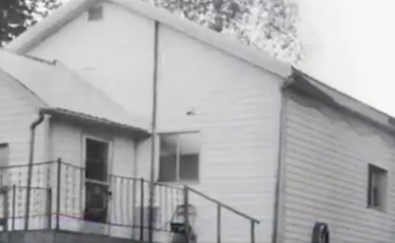
Back of Hazel's Home in 1996.
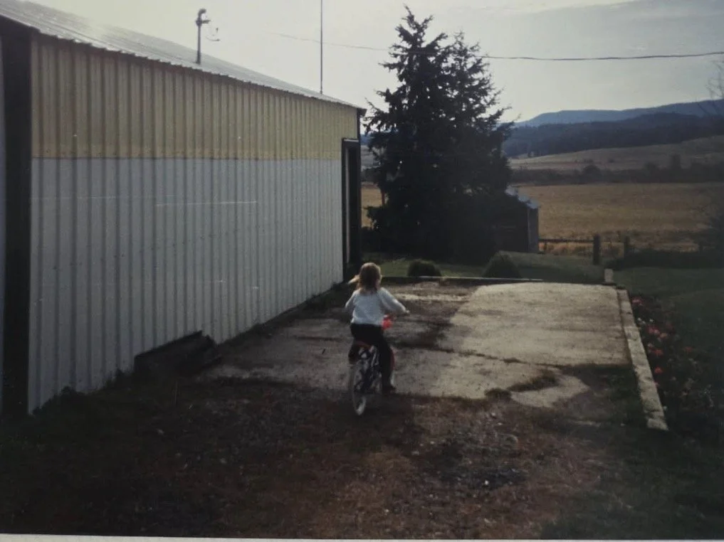
Space between Hazel's garage and house in 1996. The door that Hazel would enter and exit the garage is pictured. Photo from Paula Frazier.
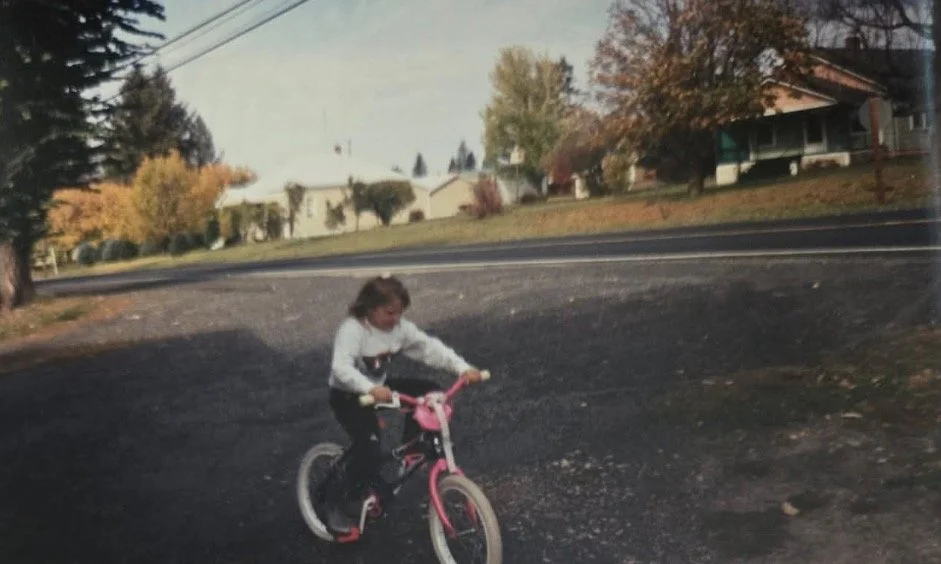
This is the driveway area between Hazel's home and highway 6 in 1996, showing how close her home was to the highway. Photo from Paula Frazier.
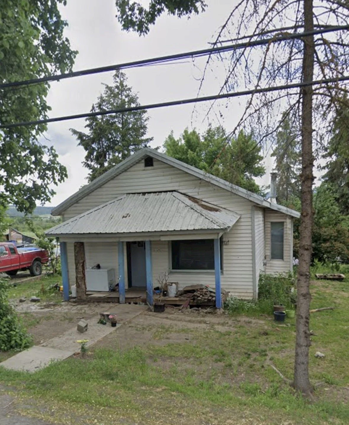
The front of what used to be Hazel's home now in 2026. Photo taken from google maps, July 2026.
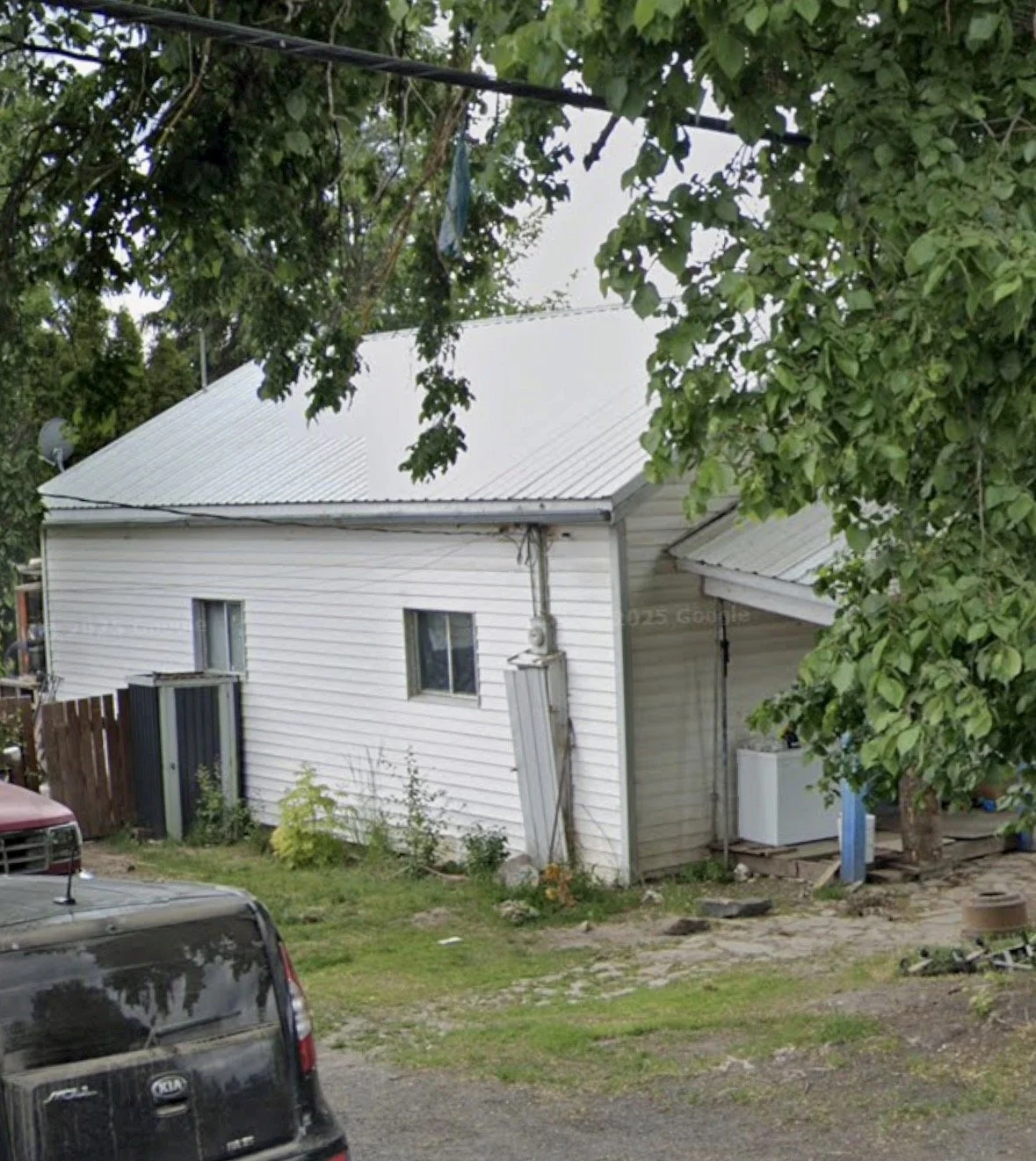
The side of what used to be Hazel's home now in 2026. Photo taken from google maps, July 2026.
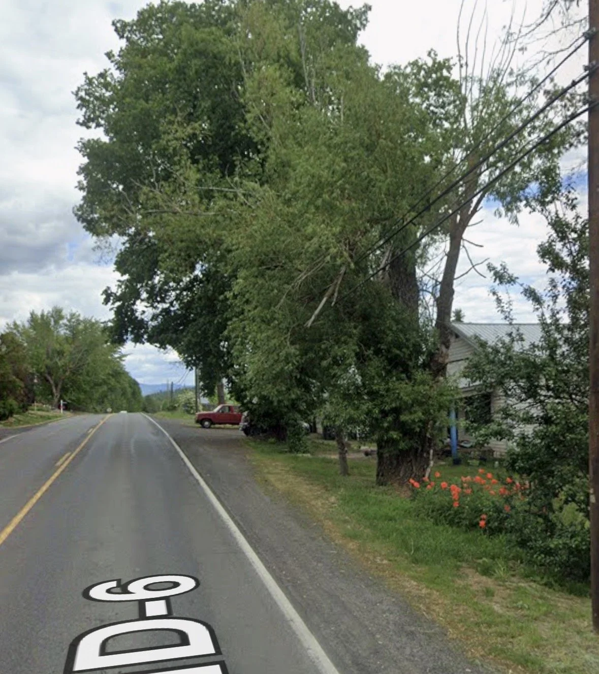
Pictured: the proximity of Hazel's home to highway 6. Photo taken from google maps, July 2026.
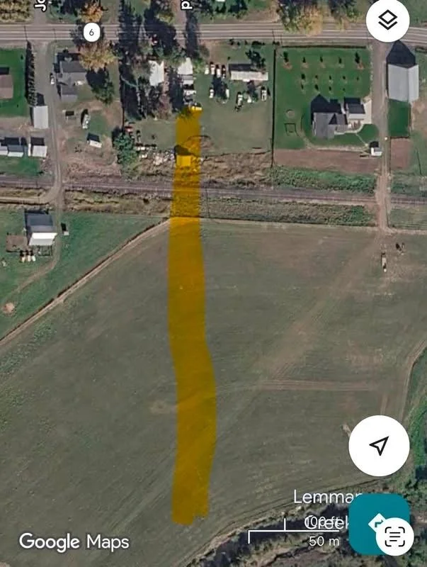
The trail that the dogs tracked from Hazel’s back door towards the Palouse River.

The distance from Hazel’s home to where her bedding was found in the Palouse River.
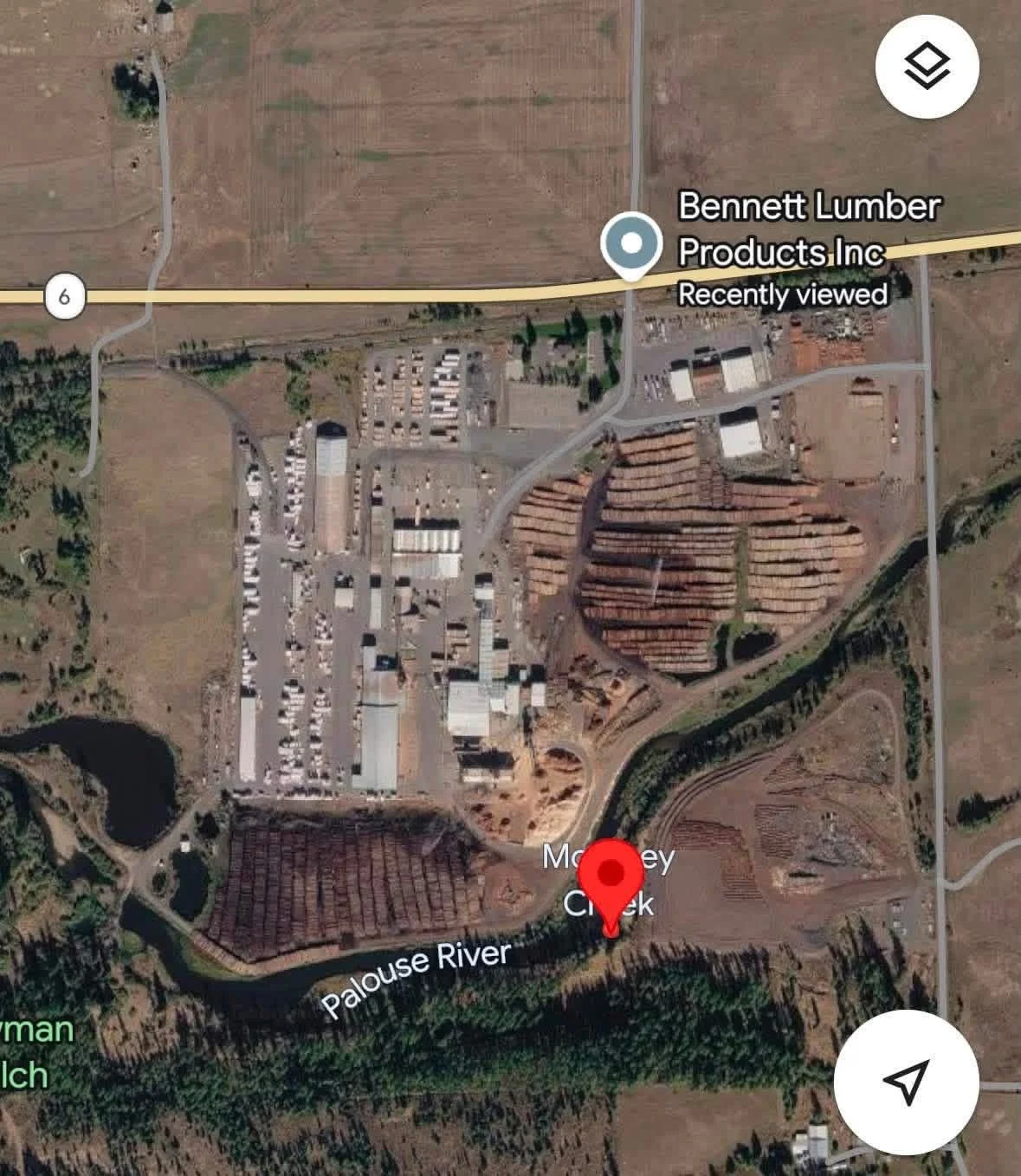
The location of the Palouse River where Hazel’s bedding was found.
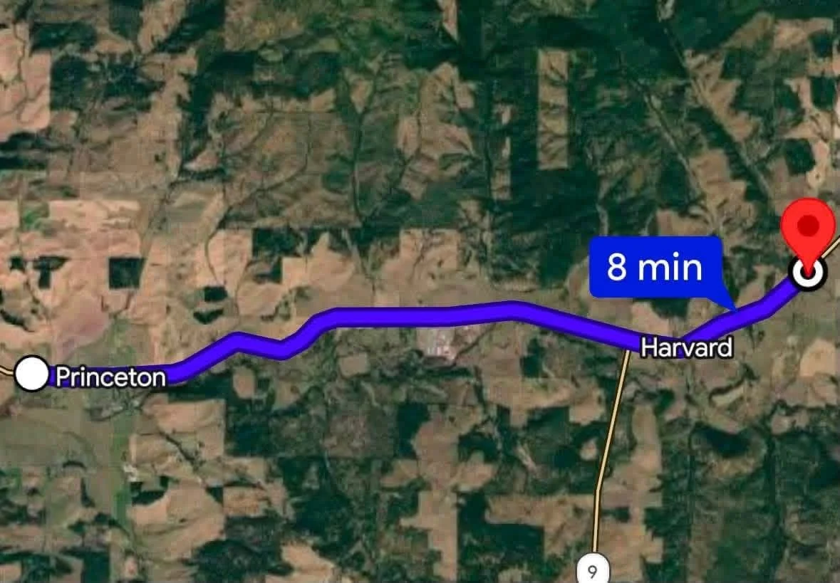
The distance from Hazel’s home to where her slippers were found.
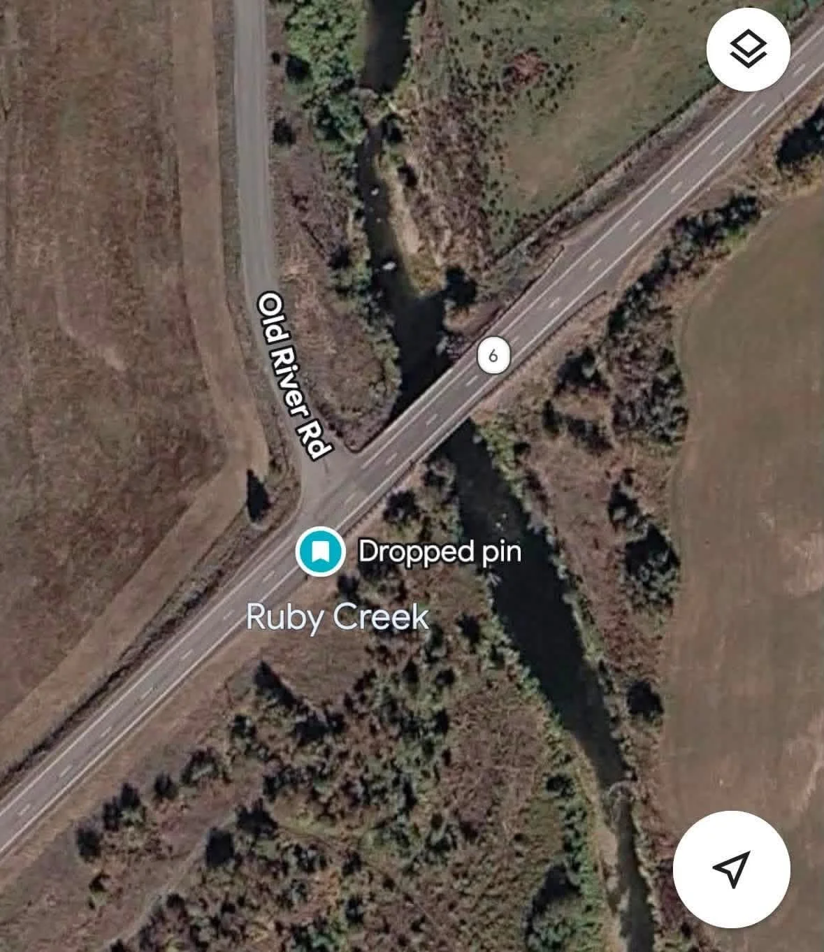
The location of where Hazel’s slippers were found.
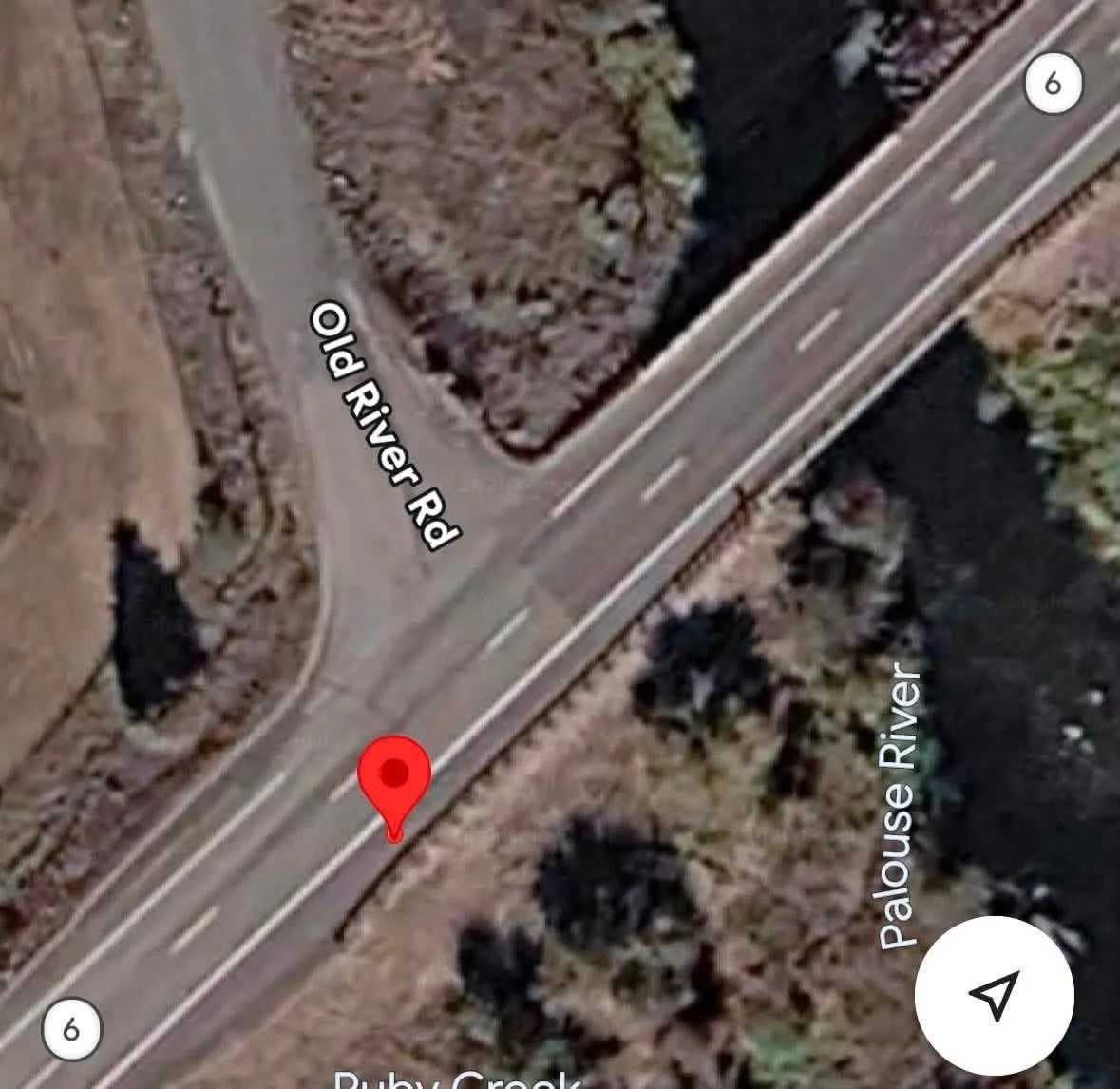
The slippers were found here between the road and guard rail.
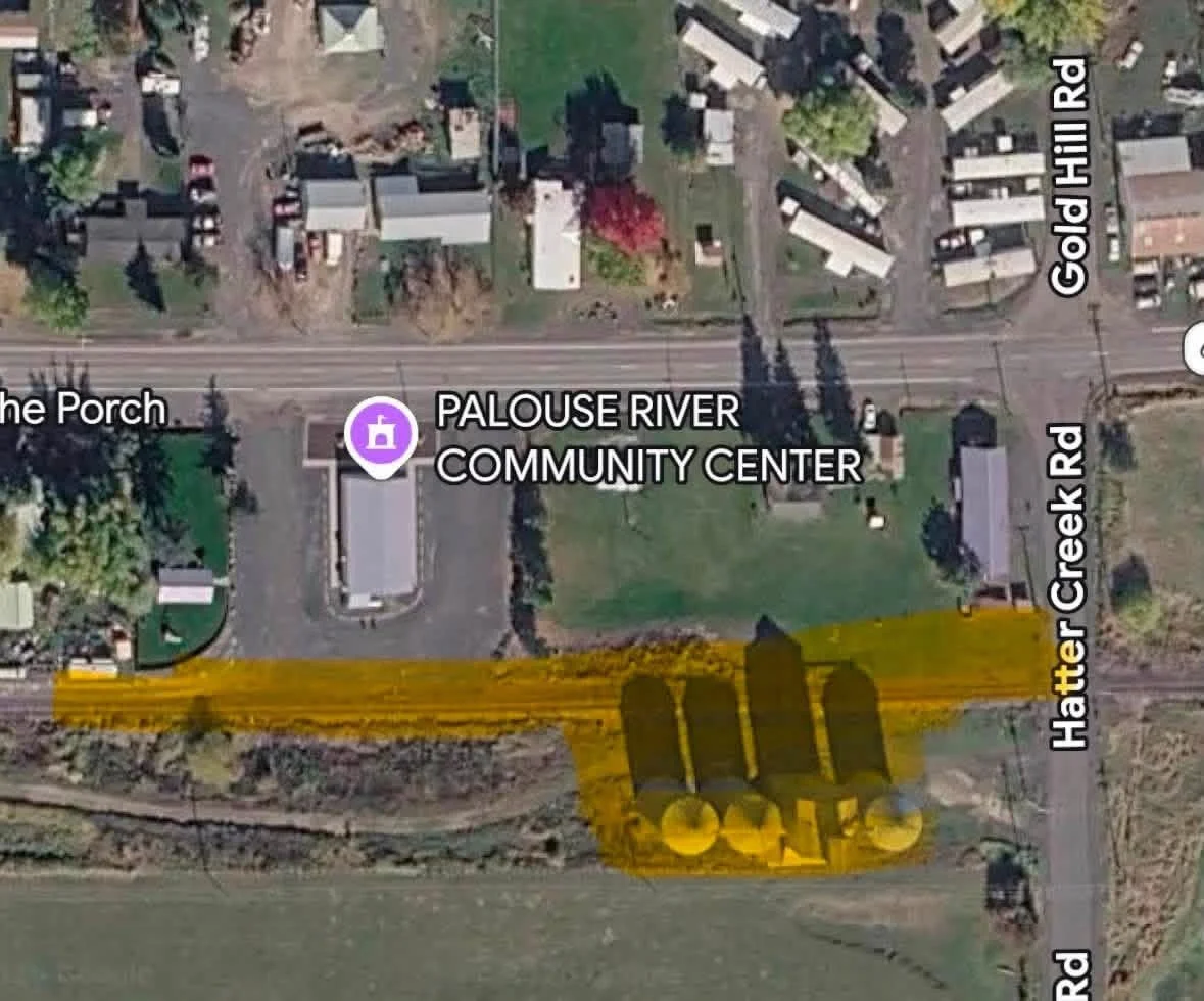
The three grain bands, where the rumored siting of the pick up truck after was after pinochle ended the night Hazel was murdered.